Cadastre & GIS
A full range of geographic information services from scratch
The ET AIR GIS division provides web-based GIS solutions, data converting and processing, programming and automation processes, data related to African countries, as well as accurate maps using our customers’ GIS data.
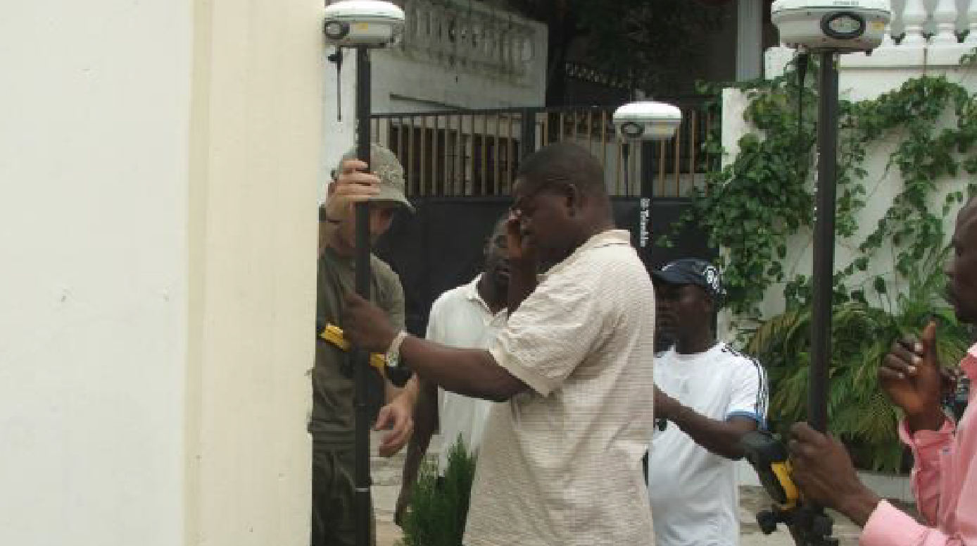
Our GIS division creates, hosts and manages the databases, does special data collection using GIS technology, 3D service-line of sight using DTM, 3D simulation, water streams, catchment areas, etc. The variety of on-demand data provided by GIS solutions allows optimal management and planning for short or long terms.
No country can succeed without basic cadastre services and geographic information systems; they are essential to running a government and to building an economy. ET AIR’s expertise allows it to successfully implement these complex solutions.


